
A Western Disturbance as a trough in middle and upper troposphere over Pakistan and neighbourhood and its induced upper air cyclonic circulation over Northwest Rajasthan and adjoining areas of Haryana and Punjab would affect northwest India during next 48 hours. This is the 6th Western Disturbance affecting Northwest India during this month.
Weather Forecast during next 48 hours
Widespread rainfall/snowfall activity would occur over Jammu & Kashmir, Himachal Pradesh and Uttarakhand till tomorrow. Widespread light to moderate rainfall/thundershowers would occur over Punjab, Haryana, Chandigarh and fairly widespread over West Uttar Pradesh.
Scattered rainfall activity/thundershowers would occur over Rajasthan and over East Uttar Pradesh.
Weather Warnings for February 21 & 22
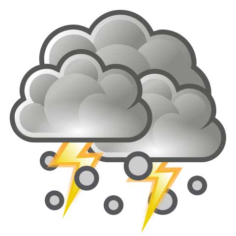
Heavy rainfall/snowfall would occur at a few places over Jammu & Kashmir and at isolated places over Himachal Pradesh and Uttarakhand on 20 & 21 February. Thunderstorm accompanied with isolated hailstorm is very likely in these states on 20 & 21 February.
Thunderstorm accompanied with hailstorm, lightning & strong surface winds is very likely at a few places over Punjab and isolated places over Haryana, Chandigarh, West Uttar Pradesh and Rajasthan during next 48 hours.
Forecast for Delhi/NCR
Overcast conditions with light to moderate rain/thunderstorm activity accompanied with hailstorm, lightning and strong surface winds very likely till tomorrow.