Survey of India to create new digital map of Uttarakhand
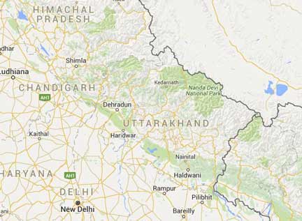
Rapid urbanization, river drainage and encroachment on government lands have spoiled the geography of Uttarakhand’s land settlement. Existing maps of land settlement on old sheets of cloth are themselves incomprehensible to the revenue department. The irrigation department is looking for the demarcation of its rivers and streams, then the housing department needs an accurate map of the land to make an effective master plan. The department will mark its need with maps. The state government is going to conduct a new digital mapping of the entire state through Survey of India. It has been agreed.
Digital mapping of land settlement is being done in select parts of the state. Now a need is felt to expand its scope. Reason: After the formation of the state, the maps of the old land (map) of Uttarakhand have changed. There is a need to make them from scratch. Large tracts have now taken the shape of small plots and settlements. Due to the old maps of the land settlement, the people have started having problems in planning the projects. The most troubled is the revenue department itself. It has become difficult for them to match the records.
While the Urban Development Department created 92 municipal bodies, it also needed the right map to provide basic amenities including drainage. This situation is more or less the same for irrigation and forest departments. They do not have maps of the current form of rivers, streams and water bodies. Seeing these needs of the chiefs, Chief Secretary Utpal Kumar Singh has instructed them to identify their needs for land maps and make them available soon.

