Chopta: The Mini Switzerland of Uttarakhand
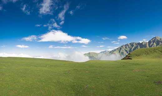
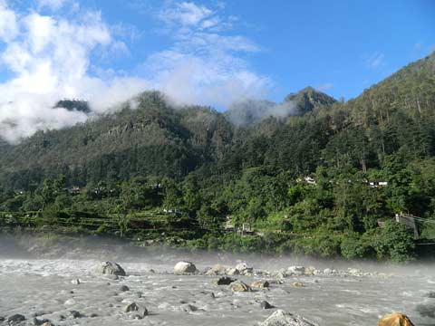
Located at an elevation of 2680 meters above sea level, the small and quiet hamlet of Chopta is a backpacker’s delight. Chopta serves as a base camp for trekkers going to Tungnath (3.5 km trek) or to Chandrashila summit (1 km from Tunngnath). Chopta is surrounded by dense forest, and offers majestic view of Snow Clad Himalayan Ranges and lush green meadows giving it the nickname of “mini Switzerland of Uttarakhand”.
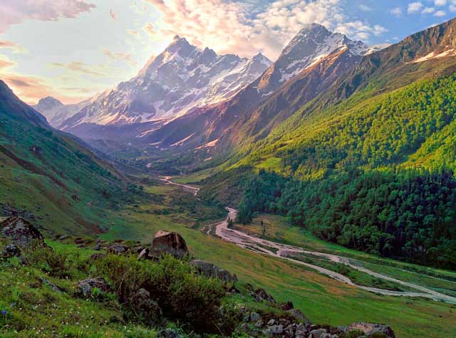
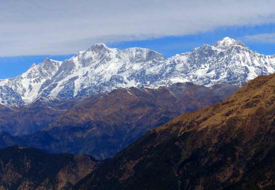
Chopta, an unspoiled natural beauty destination lying in the laps of Uttarakhand Himalayas offers amazing views of the imposing Himalayan range including Trishul, Nanda Devi and Chaukhamba. Although the region is well connected to NCR by road, it doesn’t see a huge flow of tourists because it is relatively non commercialized as compared to the nearby hill station of Auli (approx. 100km away). It is this characteristic that makes Chopta a perfect getaway destination for trekkers and travelers looking for a break in a serene environment away from all the commotion of the urban jungle.

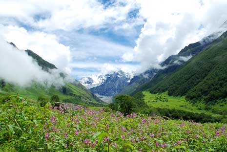
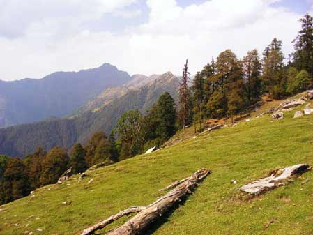
The region has many treks and trails cutting through jungles and grasslands. Chandrashilla, Tunganath and Devariyatal are the best. The trek is also open during the winter months when the lush green meadows wear a blanket of snow.
How to reach Chopta?
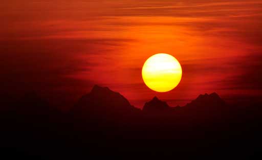
It is 36 km from Gopeshwar, 254 km from Rishikesh and 450 km (approx) from Delhi. The best time to visit is from May to November. It is also accessible via Guptkashi. Chopta witnesses snowfall from November to March and the temperature is between a minimum of −15 °C and a maximum of 15 °C.
Places to explore
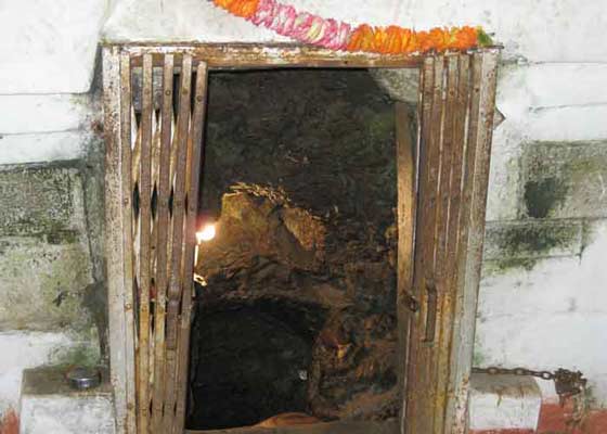
Tungnath: The third of the Panch Kedar, Tungnath is a short 3.5 km trek from Chopta. Tungnath has the honor of being the highest Shiva temple in the world. The nearly 1000 year old temple is located at an altitude of 3680 meters above sea level (more than 100 meters above Kedarnath).
Chandrashila: Chandrashila is summit of the Tungnath . It literally means “Moon Rock”. It is located at a height of about 4,000 metres (13,000 ft) above sea level. This peak provides a spectacular view of Himalayas,especially Nandadevi, Trisul, Kedar Peak, Bandarpunch and Chaukhamba peaks.